Your Gateway to Advanced Geospatial Discoveries and Innovations

About us
Welcome to ArchGeo, where we unlock geospatial technology's full potential. With expertise in open-source tools and cutting-edge software, we deliver tailored solutions globally. Our team of seasoned experts excels in advanced data analytics, custom GIS development, and strategic consulting, turning complex geospatial data into actionable insights for diverse clients.
Archgeo: What We Offer
Explore the forefront of geospatial solutions and data science expertise with ArchGeo
At ArchGeo, we transform spatial data into actionable intelligence through GIS mapping and geospatial analysis.
ArchGeo crafts custom geospatial software solutions, empowering clients to maximize data through expert GIS development.
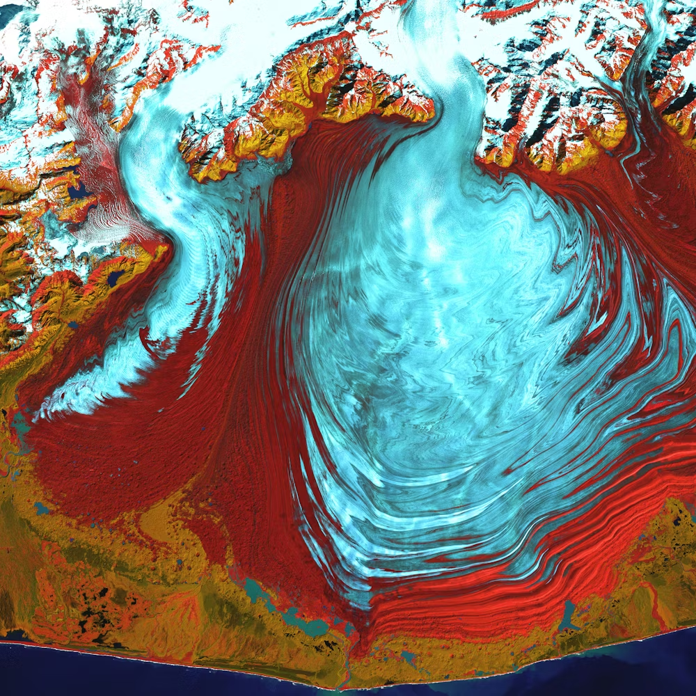
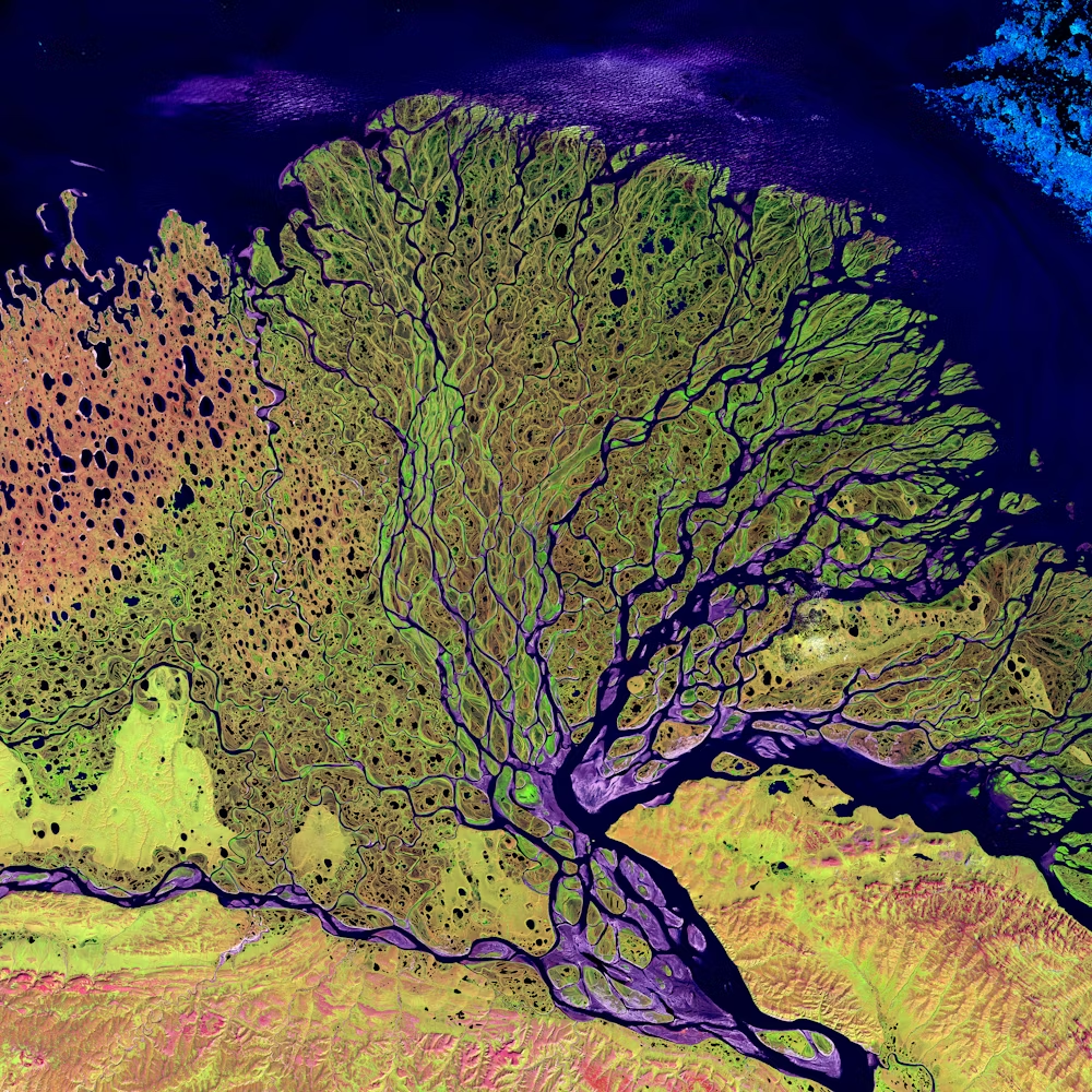
At ArchGeo, we specialize in remote sensing and satellite imagery analysis, offering advanced insights for tailored needs.
We provide specialized staffing solutions to connect businesses with highly skilled professionals across various technology sectors, ensuring the right talent is available for both short-term and long-term needs.
We provide comprehensive geospatial training and capacity building programs at ArchGeo, covering GIS and remote sensing.
At ArchGeo, we pioneer geospatial data technology with AI and IoT integration, offering innovative intelligence solutions.
HIGHLIGHTS
ArchGeo: Transforming Geospatial Data into Actionable Insights!
Leading the Way in Geospatial Innovation!
Advanced Geospatial Insights & Visualization
Leverage our advanced GIS mapping and analysis for clear, actionable insights and efficiency.
Personalized GIS Solutions & Innovation
Utilize our tailored GIS solutions, custom apps, and mobile capabilities to maximize potential.
Industry-Specific Geospatial Applications
Excel in your field with our geospatial tools for agriculture, planning, risk, and compliance.
Remote Sensing Expertise
Advanced analysis of satellite imagery for actionable insights and precision.
Tailored Solutions Development
Custom strategies leveraging geospatial data to tackle industry-specific challenges.
Accurate Mapping and GIS
High-quality land cover mapping for effective decision support and planning.
Strategic Geospatial Consulting
Expert guidance on integrating geospatial technologies for optimized business decisions.
Comprehensive GIS Training
Hands-on programs for all levels, from beginners to advanced professionals.
In-Depth Remote Sensing Workshops
Expert training on aerial and satellite imagery analysis and applications.
Geospatial Capacity Building
Programs designed to enhance organizational skills for effective data use.
AI & IoT Integration
Cutting-edge solutions combining AI and IoT for enhanced geospatial intelligence.
Organizations We've Worked With
Partner with ArchGeo to harness geospatial power. We collaborate to transform data into actionable solutions for your business.


Disclaimer: The logos displayed above are the copyrighted property of their respective owners. Their inclusion here does not imply endorsement or affiliation with our company; logos are used for visual representation and informational purposes only.
Connect with us
We’re here to answer any questions you might have


