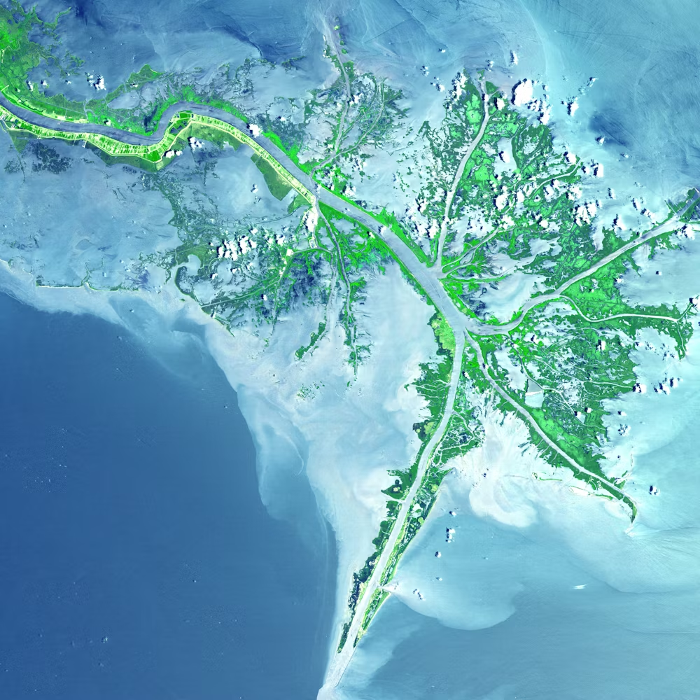
Geospatial Data Analysis & Visualization Services
Harnessing the Power of Location Intelligence
Core Offerings
Advanced GIS Mapping
Utilizing the latest in Geographic Information System (GIS) technology, we create comprehensive and detailed maps. Our GIS mapping capabilities extend from creating basic topographical maps to advanced thematic and 3D interactive maps.
Spatial Data Analysis
Our experts delve deep into spatial datasets to uncover patterns, trends, and anomalies. By analyzing spatial relationships and geographical data, we provide insights crucial for strategic planning and operational efficiency.
Geospatial Visualization
We transform complex spatial data into clear, impactful visual representations. From straightforward charts to intricate 3D models, our visualizations are designed to convey information in an accessible and engaging manner.

Use Cases
Industry Applications
We provide geospatial insurance applications, such as risk assessment models, claim hotspots identification, and policyholder location analytics, enabling insurers to manage risks effectively and optimize their resource allocation.
Our urban planning GIS services offer invaluable insights for city planning, infrastructure development, zoning, and environmental conservation. We assist urban planners in creating sustainable and efficient urban spaces.
Our spatial risk mapping is crucial for environmental agencies, emergency responders, and public safety officials. We help in hazard identification, emergency planning, and resource allocation during critical situations.
Let's Connect!
At ArchGeo, our goal is to provide unparalleled Geospatial Data Analysis & Visualization Services tailored to the specific needs of each industry. By combining our expertise with state-of-the-art technology, we empower organizations to navigate and leverage the complexities of spatial data for strategic advantage.