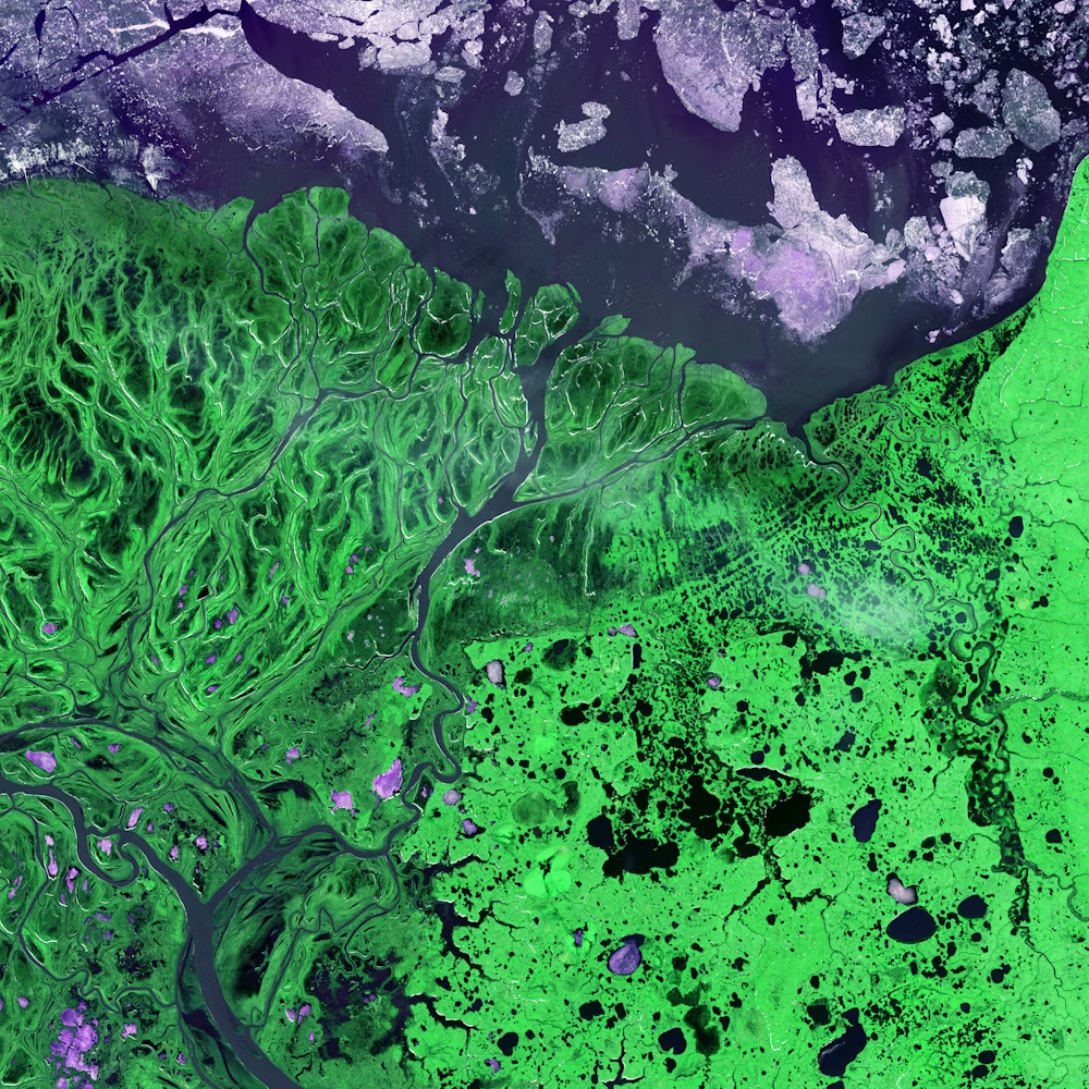
Geospatial Training & Capacity Building Programs
Empowering Through Geospatial Knowledge
Core Offerings
GIS Training Programs
Tailored for beginners and experienced professionals, our GIS training programs offer hands-on learning experiences. Topics include geospatial analysis, cartography, spatial data management, and GIS software proficiency. Whether you're starting a career or enhancing existing skills, our programs meet your needs.
Remote Sensing Workshops
Dive deep into aerial and satellite imagery analysis with our remote sensing workshops. Learn to interpret and extract insights from remote sensing data, covering image processing, classification, and its applications in various industries.
Geospatial Capacity Building
Customized for government agencies, businesses, and non-profits, our capacity building programs enhance teams' ability to leverage geospatial data for informed decision-making and policy planning.

Use Cases
Industry Applications
Our programs serve as the foundation for GIS education services in educational institutions. We equip them with tools and curricula for geospatial courses, preparing the next generation of professionals for the workforce.
Empower government personnel with geospatial skills for decision-making and policy planning, from urban development to disaster management.
Enable organizations to use geospatial insights for evidence-based policy formulation, resource allocation, and infrastructure planning.
Let's Connect!
Ready to empower yourself or your organization with geospatial knowledge? Contact us today to explore how our Geospatial Training & Capacity Building Programs can unlock the potential of geospatial technology for you. Join us in the journey of empowerment through geospatial knowledge at ArchGeo.