Remote Sensing & Satellite Imagery Analysis
Unlocking Insights from Above with Remote Sensing Expertise
Our Approach
Core Offerings
Data Analysis
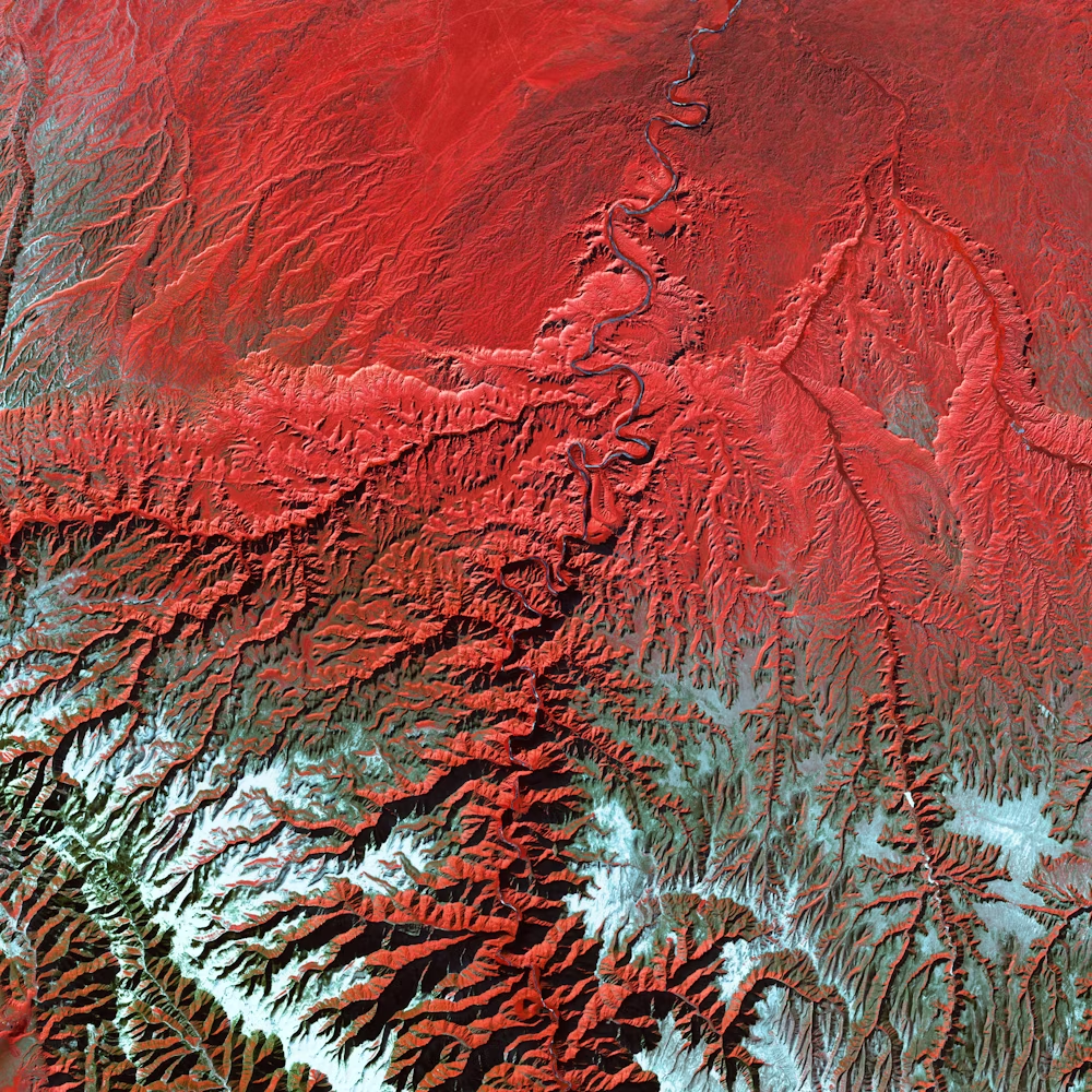
We harness remote sensing data and satellite imagery to gather essential information about Earth's surface, atmosphere, and oceans.
Solution Development
Our expertise lies in developing tailored solutions that leverage remote sensing data to address specific challenges across various industries.
Mapping Excellence
Accurate land cover mapping and geographical insights are integral components of our solutions, contributing to effective decision support.

Use Cases
Industry Applications
Boost your agricultural operations with our precision agricultural GIS software. Optimize crop planning, irrigation, and resource allocation for increased productivity and sustainability.
Enhance your transportation logistics with our geospatial solutions. Optimize routes, reduce fuel consumption, and ensure punctual deliveries, all while minimizing environmental impact.
Navigate environmental regulations effortlessly with our geospatial tools. Monitor environmental changes, manage natural resources, and meet regulatory requirements with confidence.
Let's Connect!
Ready to harness the power of remote sensing for your business? Contact us today to explore how our solutions can assist you in unlocking invaluable insights. Unlock the potential of remote sensing expertise with ArchGeo.